
|
Mt. Airy MD via WV Eastern Panhandle: Aug 13-14, 2010 |
|
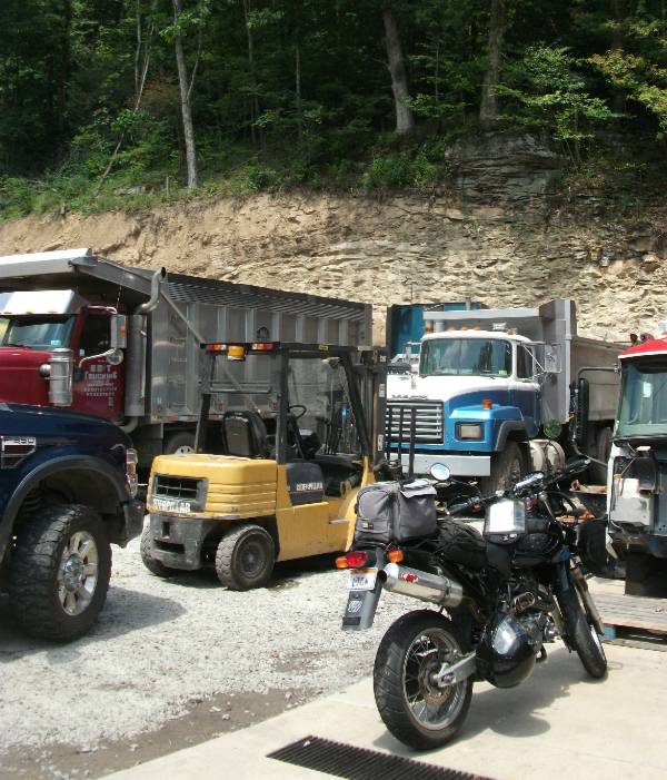
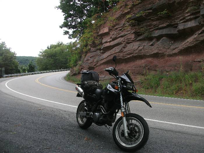
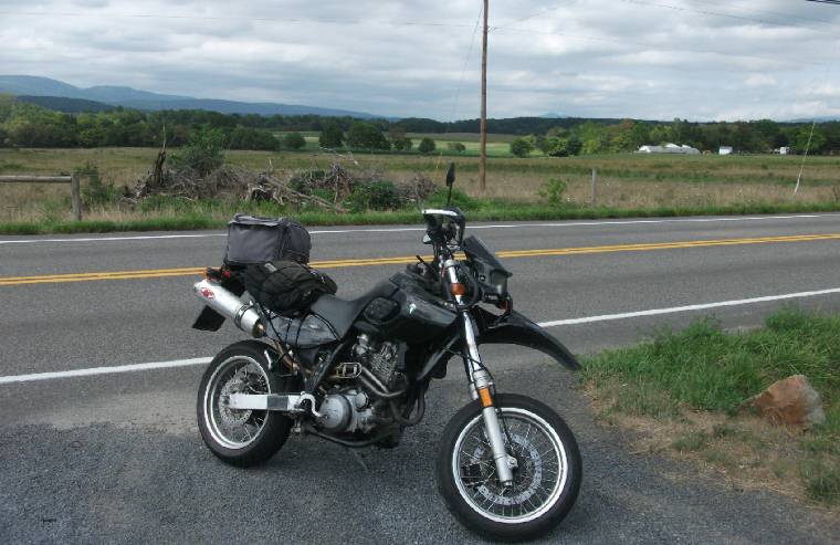
A grr-r-reat day, warm and sunny, taking off early from work on Friday the 13th, to head east, explore the Eastern Panhandle, and ending up around Mt. Airy, Maryland. Sit back, grab a coffee while giving a chance for all the pics to load. So, I start out on US 50 East, which is one of those favorite motorcycle routes in the State. This will take out all the way to Virginia but we shall see I don't go quite that far. The good parts are well before that anyway. First photo op is at Larew Trucks near Tunnelton, note the unusual cliff-face in the background. Erosion will soon send those trees crashing down.
Not far beyond this you head up over the mountains and down again, descending via a couple sharp switch-backs to a famous place called Cool Springs which features a general store with a cow on top, and an Exxon filling station. This is very well known to riders, but I don't stop this time. My Facebook Profile Pic is exactly that. US 50 crosses into Maryland and then goes back into West Virginia where I stop for gas. Small town Gormania on the border.
Looking back west you can see the Welcome to Maryland sign.
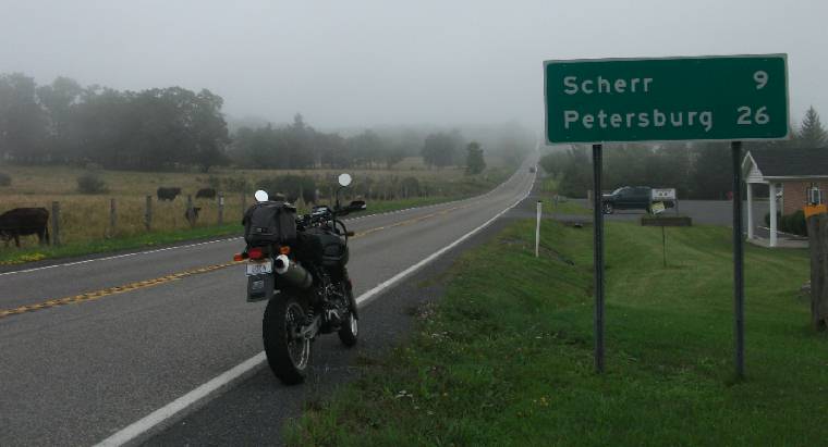
Once I turn onto WV 42 to head south towards Petersburg, Grant county seat, I noticed it has gotten foggy. When I stopped here to take a pic, I notice
I forgot to screw my gascap on, the only thing holding it to my bike is the vent/return hose. The road was twisty since that gas station,
making me wonder if I lost any precious fuel. Anyway, I'm so thankful the gascap didn't come flying off which could have easily happened.
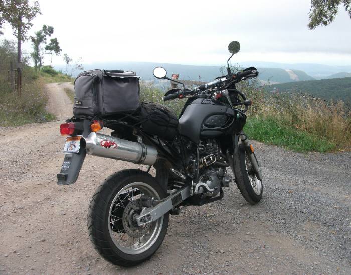
WV 42 descends from the mountains on a sinewy trail, great if you don't get stuck behind a logging truck or something. I 'pit-in' at a scenic overlook, and rest, to let the truck get way ahead. Now if I was really adventurous, I'd want to see where that gravel road leads. But not today, as I've got a lot of ground to cover if I want to get anything close to my destination before dark. It's already close to 3pm.
I could meditate here a while.
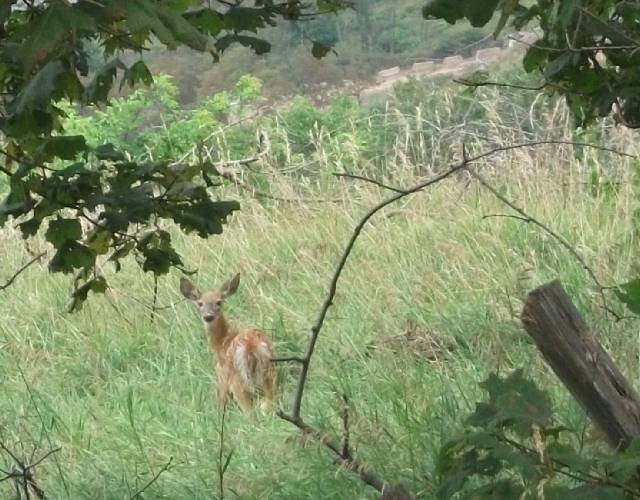
Peek-a-boo I see you. Doe, a deer, a female deer. My what big ears you have!
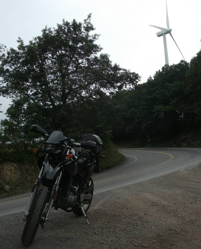
Looking behind me is one of those wind generators.
A few moments later down the windy road is another worthwhile pit stop to check out this awesome rock face.
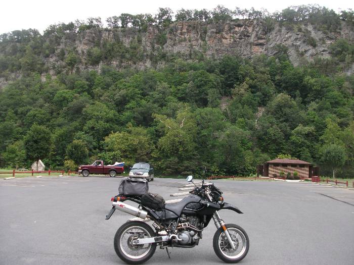
As I descends the rest of the way into Petersburg, I notice it remains overcast, and cool. Remarkably cool in fact, for mid-August. There, after refuelling again, I meet a British guy (WV resident, though) on a KLR. Now it's onto US 220 north which is a straight road thru the valley, which will take me back up to US 50. This park just north of Petersburg has an interesting rockface way up high, in the background. Great for rock climbers.
Looking south, down the valley, the weather indeed looks a tad sombre.
Another gravel road I wouldn't mind exploring, again no time unfortunately, with an interesting rock out-cropping in the distance on the eastern side.
Looking to my west from this same spot, we see fairly expansive farmland (for West Virginia anyway). The mountains far off in the distance.
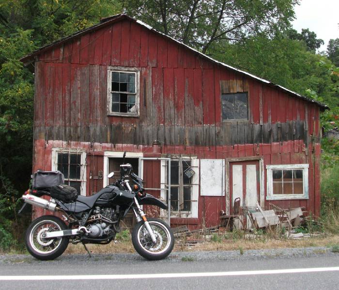
As you can see I'm a little uneasy about the weather. The forecast didn't really call for rain. Let's hope I don't get clobbered. Further north on US 220, past Moorefield I think, is this old run down red house, seemingly vacant.
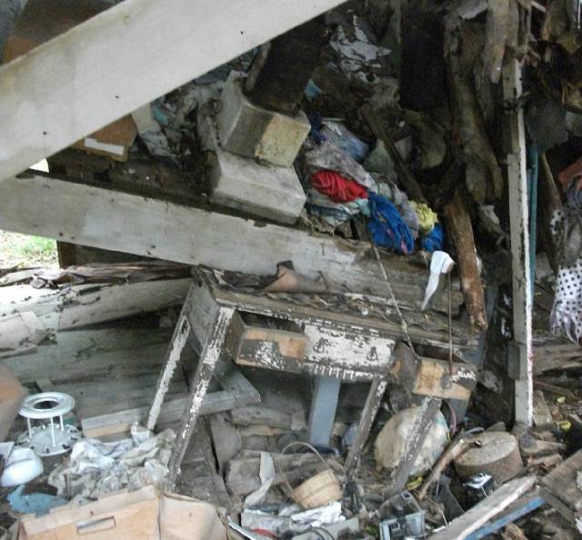
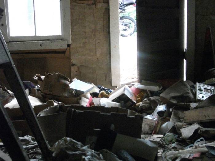
Sometimes I like to peek in just to see what's up. Yup, nothing but junk and the second floor has obviously caved in.
I curiously venture in, stepping carefully because the bottom could drop out at any point. There's my bike outside.
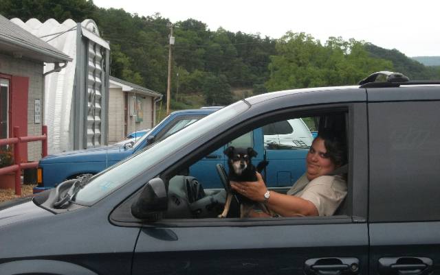
Enough of that, I then reach US50 and onto Romney, county seat of Hampshire county. I've photographed this courthouse more than once, so no need to do that again. But I do stop to see Buck's Indians, hoping that maybe I'll catch Steve Rinker, who I've met, along with his twin sons Jared and Justin at the Ohio Valley BSA Rally. I do meet up with Steve who tells me that a better time to see the collection of Indians, is during their open house on Sept 11th. Sounds great to me, because I'm still behind schedule. I do catch a neat photo of a lady and her cute little doggie at the trading post.
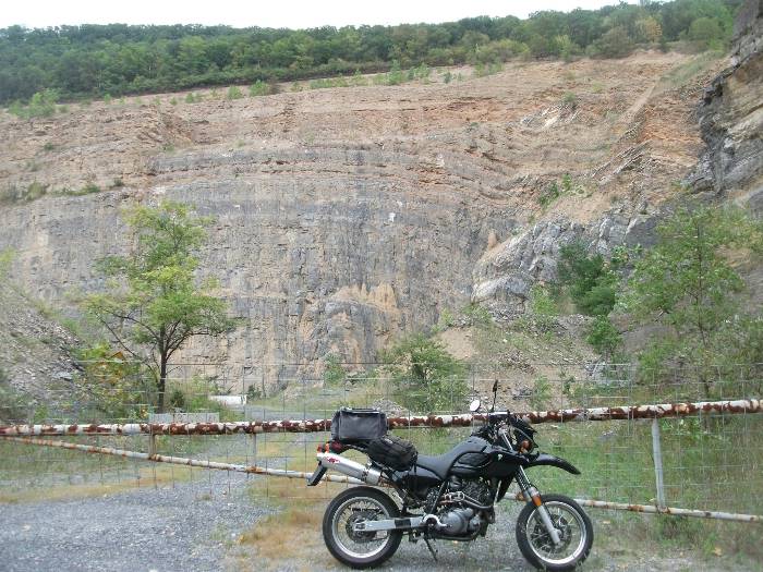
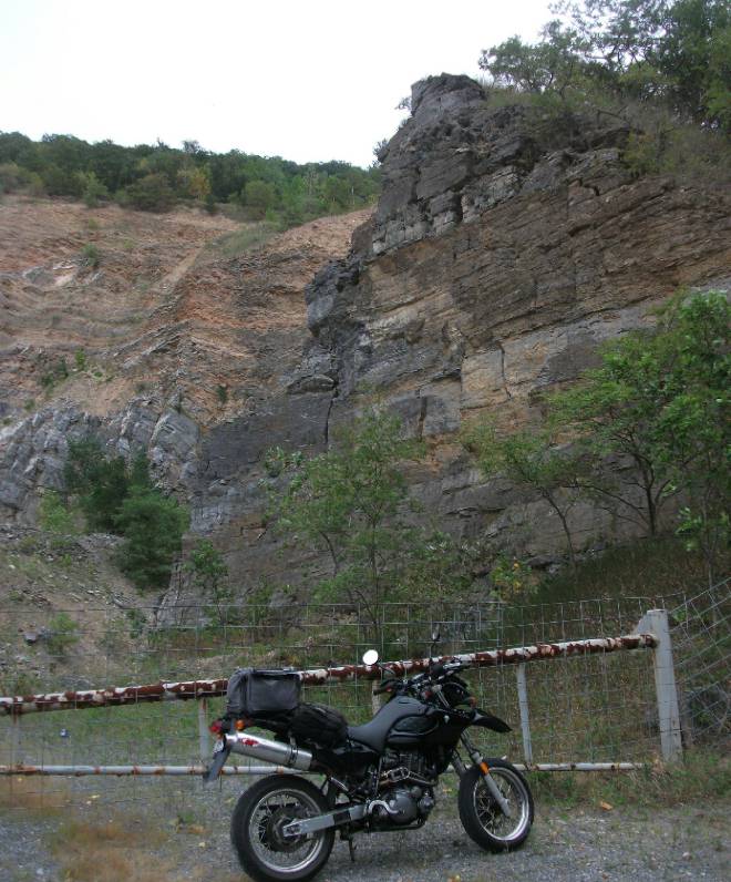
Just past Romney, there's a quarry that presents a couple cool photo ops for my Baghira.
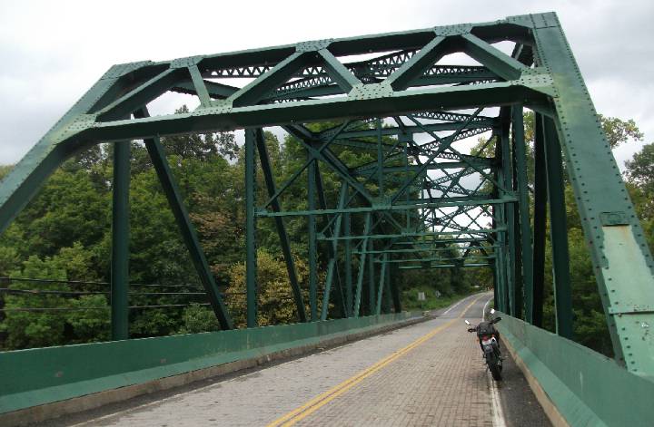
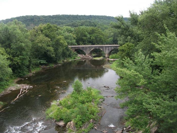
By now I'm in the Panhandle, and I grab WV 29 North which then takes me to WV 9 East, just before I get to Paw-Paw which is on the Maryland border. As I head East on 9, it's obvious that it has just rained in the area, and I got lucky for missing that. A nice truss bridge along this route.
With a nice view looking south. Or north, I can't remember.
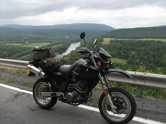
Now here's where the route gets really good. WV 9 climbs up over the mountains, and gives a breathtaking view of the Potomac. That's Maryland on the other side. And the weather isn't looking much better. Like I said, I got lucky so far, and avoided rain, which I wasn't even expecting to run into. Let's hope my luck holds out on this Friday the 13th, hah!
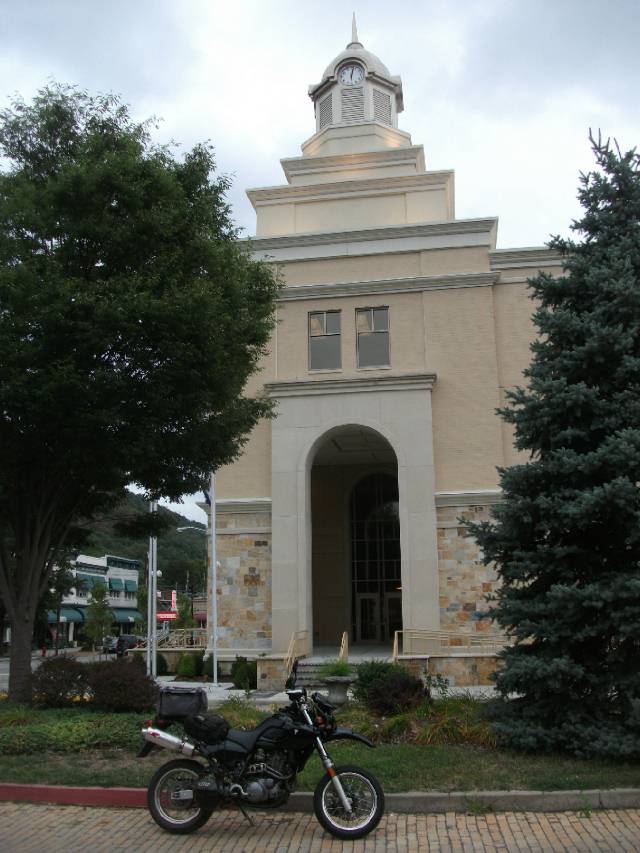
A nice descent into Berkley Springs, Morgan County's seat. Now, you might have heard in the news, that their courthouse burned down a few years ago. It had to be totally rebuilt, and I must say, they've done a good job. This is my first glimpse of the new building, on the very same site, and keeping a similar design. Definitely the newest court house in the state.
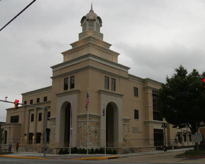
With a view further back from a cobblestone street.
A nice historic town, with a couple interesting buildings next to a park. I didn't catch their historical significance.
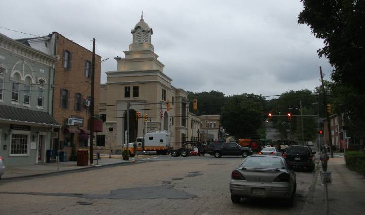
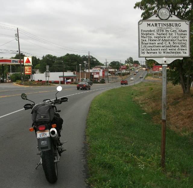
Onward and upward, still on Route 9, and over a few more low mountains, past Hedgesville, then heading into Martinsburg. I didn't realize the mountains are still pretty high this far east. It's getting pretty late, I figure I only have a couple more hours at best of daylight. It's around here that I notice traffic really picks up. That's because Martinsburg is considered a bedroom community to Washington DC. Yes, hard to believe the Nation's Capital isn't all that far away.
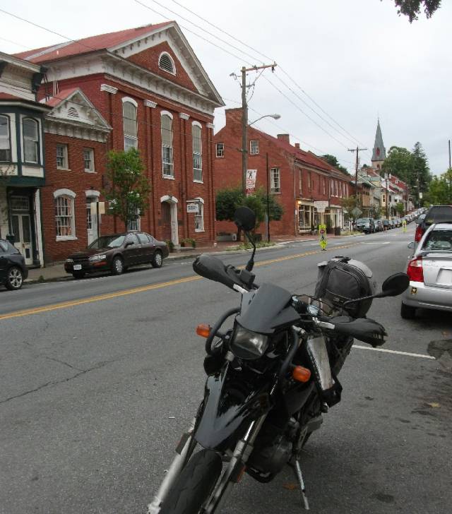
This is also the county seat for Berkeley County. Easy to get confused, Berkeley Springs is not (it is in Morgan county) Next I head towards Shepardtown via WV 45. I've heard all about this town, because I listen to West Virginia
Public Radio and I'm always hearing Turns out it is a big deal. For it looks like a Colonial Virginia town, nothing at all like the rest of the state. Of course I realize it was originally Virginia, it just happened to be swept up into the Western portion that split apart in 1863. Anyway, I park my bike on the main street and have a look around.
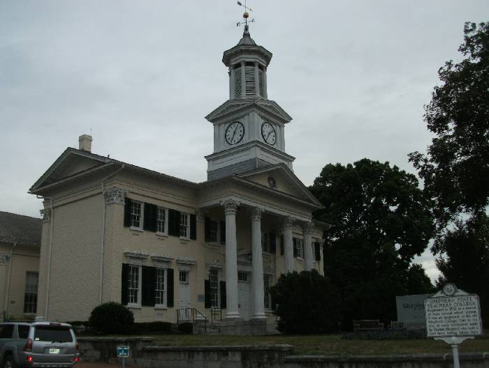
Here's the Teacher's College.
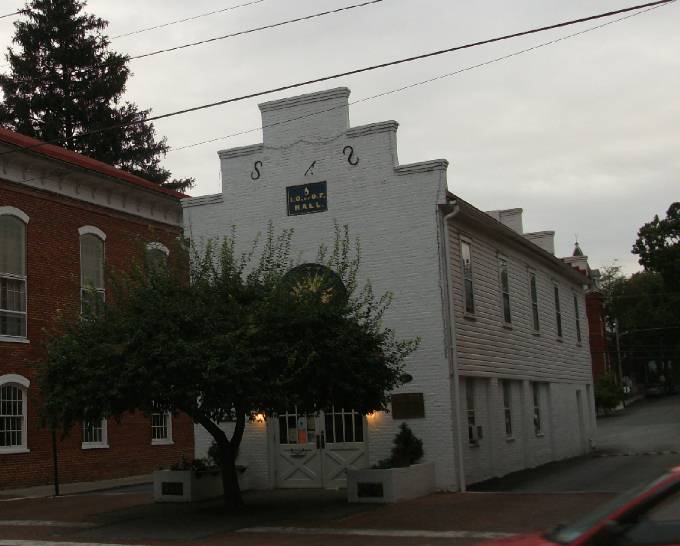
An obviously old, narrow building for the IOOF (International Order of Odd Fellows, I think).
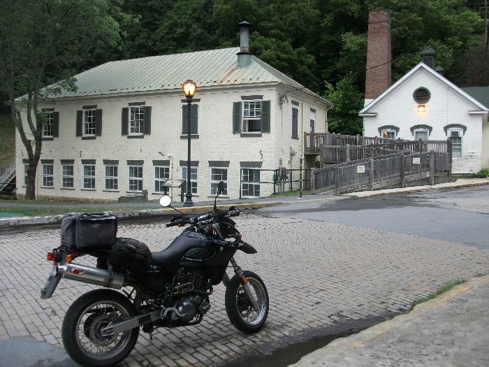
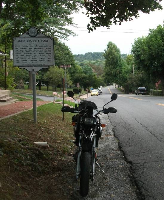
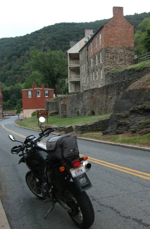
No doubt this would be a nice place to live, property being very affordable compared to DC, which as I said earlier isn't all that far away. Thus, yet another DC bedroom community. Now I'm ready to head out and head south to Harper's Ferry, as far East as I can go in this state. I take a scenic route that more or less follows the Potomac, passing through Bakerton, which has a pretty major factory of some sort (forget exactly what). Here we are, at the entrance to Harper's Ferry, the town made famous by John Brown, the abolitionlist.
The street descends down, with a set of row-houses on the left.
And a park on the right.
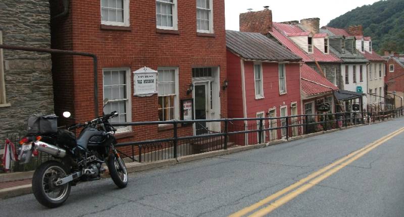
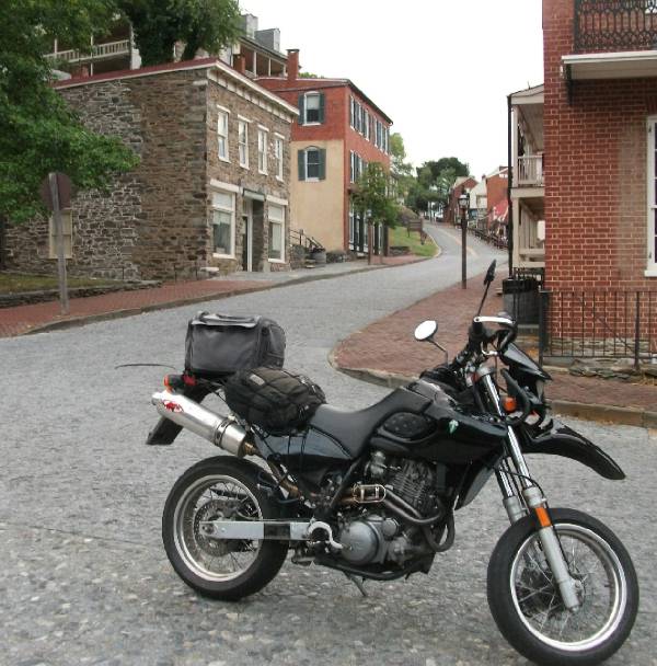
I get to the bottom of the hill. Note the cobblestone street, and look back where I previously parked my bike.
Harper's Ferry sure has wide streets for what apparently is very little traffic, especially back in the day (and today!)
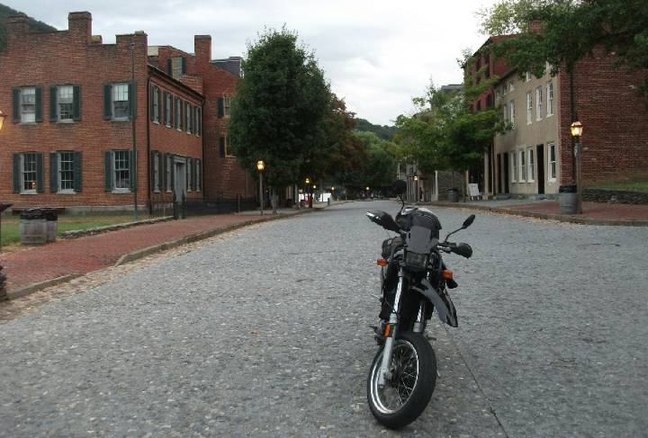
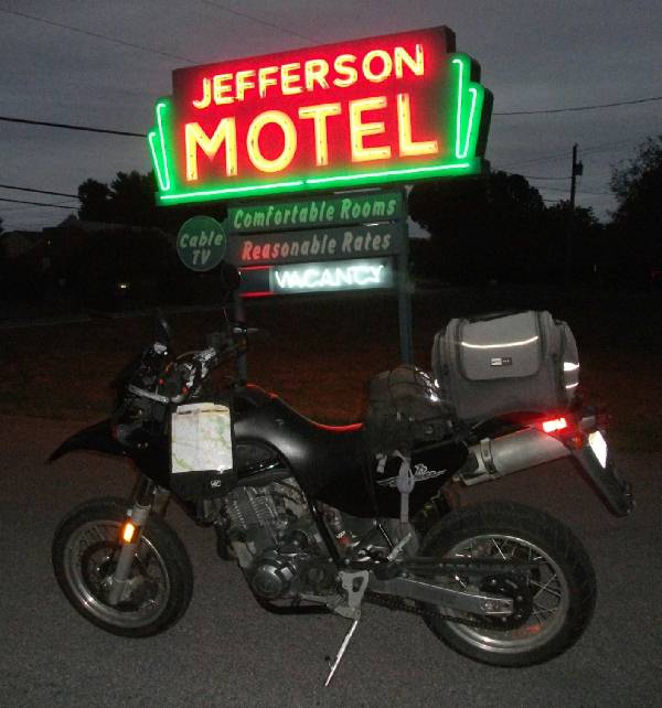
Now this road takes me through Harper's Ferry Park (A US National Park), up to the top of the hill once again, meeting up with US 340. This highway takes me across the mouth of the Shenandoah. To my surprise I'm still in West Virginia, I was expecting to either be in Virginia or Maryland by now. Turns out the VA-W.VA border is on top of the ridge on the opposide side of the Shenandoah, so the river itself is not the state line. This means part of the Shenandoah river is wholly in West Virginia, even though it is usually associated with Virginia. Of course a short while later, I find myself in Virginia, briefly, and then a substantial bridge, that crosses the expanse of the Potomac takes me into Maryland. By now it's almost dark, putting me on a quest to find a place as soon as I can. I take a side-road off US340 to follow the Potomac, hoping to find some quaint picturesque inn along the river. No such luck, I end up back on US 340. I then head north towards Frederick, figuring I will find a place to stay at least by the time I get that far. Sure enough in Jefferson, I find a motel, a pretty old one at that.
Note the map-chart strapped to my handlebars. This, I use, instead of GPS. Been good to me so far. Now the innkeeper has a special on a room without air conditioning, which for the middle of August in Maryland would normally be totally out of the question. But like I said earlier, this has been an unusually cool day for August, so it will do just fine. I park my bike, later I grab a bite to eat from a sub-pizza shop in town, and settle down for a good night's rest with the windows open.
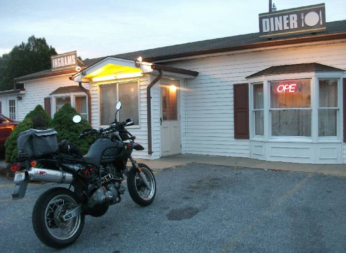
The next morning I rise bright and early to get a good breakfast a Diner 101. Notice the fork-plate-knife way of spelling out the number.
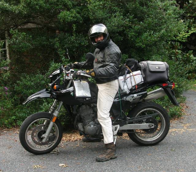
Later I get to Mt. Airy by Interstate, where I meet up with some friends, and now I'm packed all ready to head home,
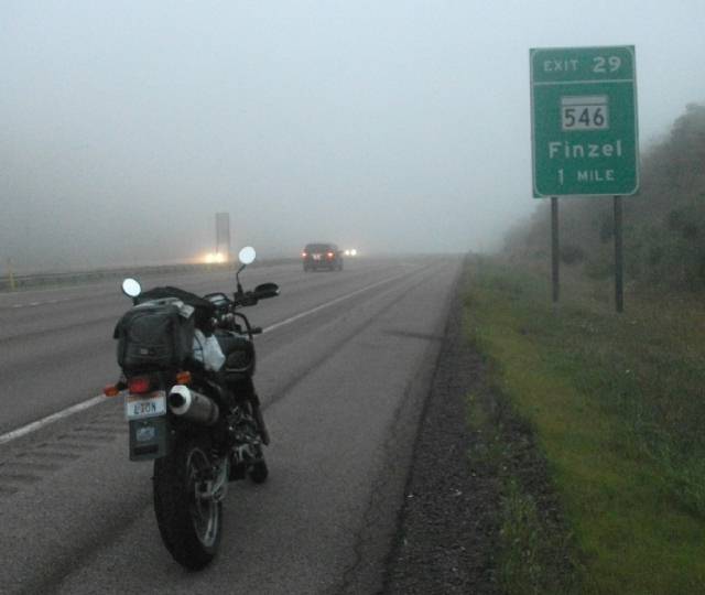
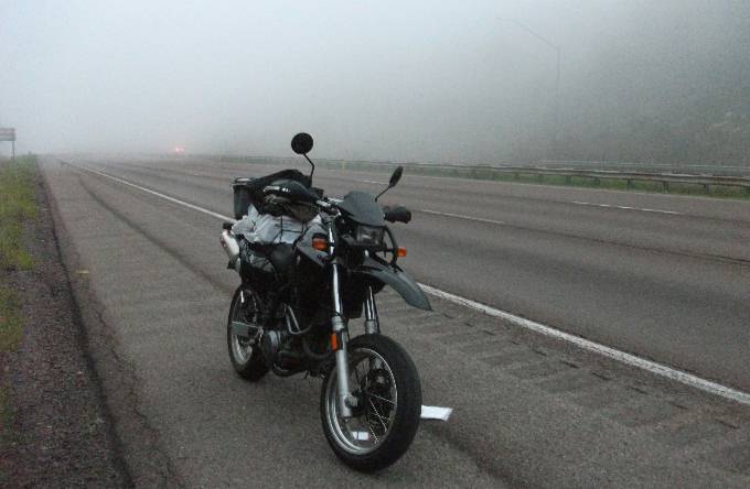
By now it's late enough in the day that I figure I'd rather take the direct route home by Interstate, making it home that night, as opposed to taking the scenic route home which would certainly mean another night on the road, though tomorrow's Sunday, so I suppose I could. I just didn't feel like it. I-68 towards the Maryland-WV border up in the mountains is decidely foggy.
Looking back east, it's obvious that visibility is limited, and darkness will soon be upon me, so it's in my best interest to get down from the mountains.
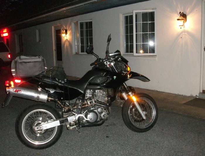
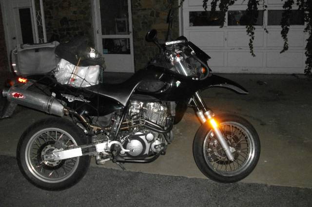
A hour or so later I pull into my driveway after dark, decidely tired after a long two day trip.
There you have it, another MZ adventure bites the dust. |
Page created Oct 3, 2010